

Test es
Aerial Imaging
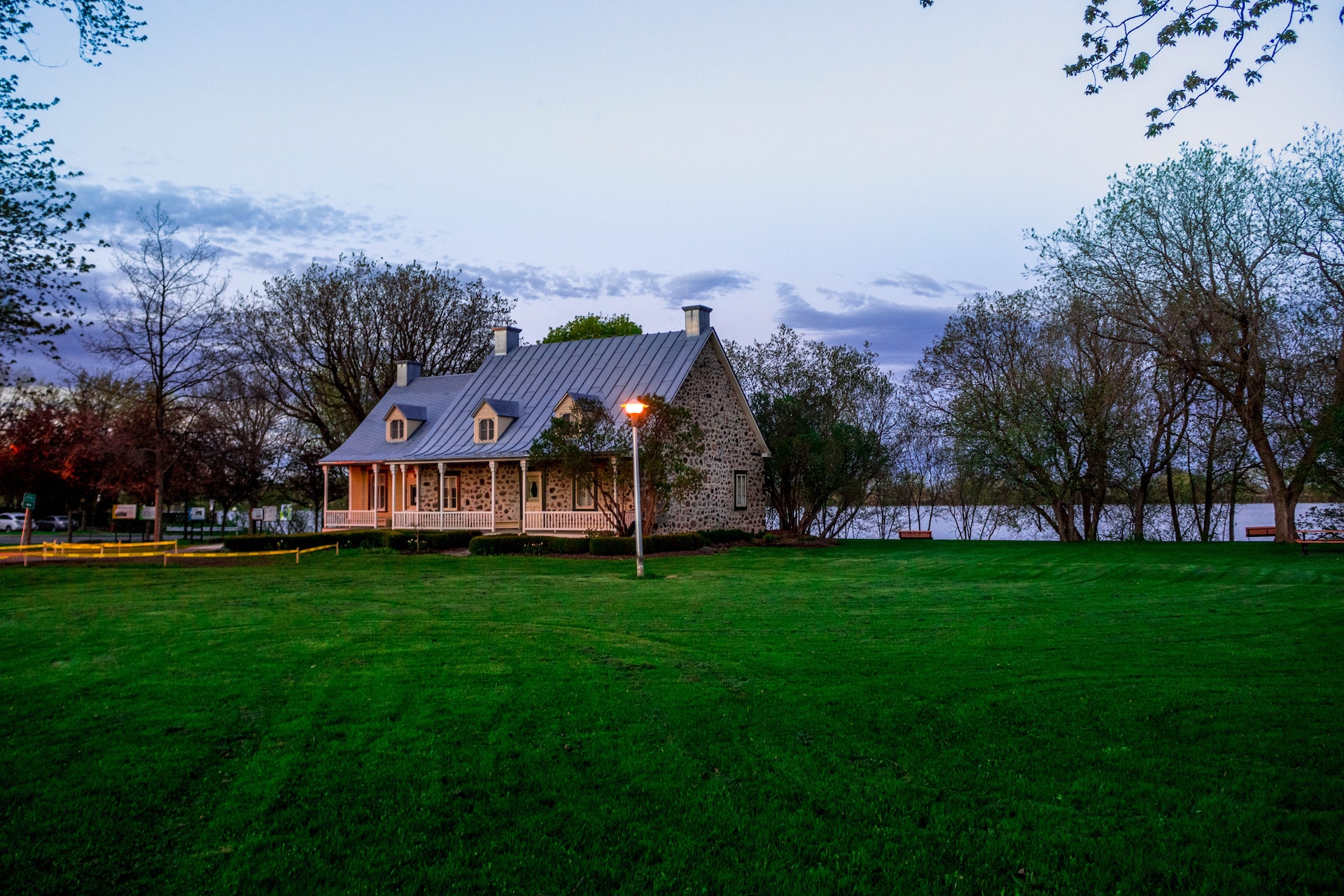
Landscape design in 3D in Spain ( или написать регионы) is an important point for creating the backyard territory.
Test
Therefore, it is important to entrust this task to professionals. What is meant by the concept of landscape design?
- Where does the landscape design of the site begin?
- Departure of a specialist to the object, measurements of the site.
- Consultation and preparation of technical specifications according to your wishes
- Additional geodetic surveys, selection of soil and water analyzes are possible
- Conclusion of a contract for design work.
- Environment design and project execution.


The Benefits of Drone Mapping
Using drones for surveying offers the following advantages:
- Speed – Drones can scan acres of land in a fraction of the time it takes to manually survey on the ground, especially in areas of challenging terrain.
- Reduced Cost – A drone can capture data faster and safer, which may reduce costs.
- Improved Quality of Data – Drones are constantly scanning and creating thousands of measurements, resulting in incredibly detailed and highly accurate point files within a few millimeters, when paired with traditional survey methods.
- Types of Aerial Drone Surveys
- Base Mapping/Preliminary site assessment – Used to determine the most suitable land-use in terms of development and planning, or for construction purposes. It uses the drone to collect imagery and topographic relief of the land to give an idea of the current condition of the land, slope, and relief to better enable an architect or land developer to make decisions on its use.
- ALTA Surveys – Using a drone and a combination of software, including PIX 4D/PIX 4D Survey and AIRworks, we are able to decrease the cost of large ALTA surveys if the project is a good candidate for drone imagery. The drone is able to fly the site and draw in many of the features on the parcel, reducing the need for the crew to manually measure all of the property improvements and significantly decreasing the number of man hours required.