Worldwide landscaping company since
We work in Spain, Ukraine and USA

The experts in outdoor living. Custom landscape designs & installations
Hello, my name is Ivan Fedianin. I am the head leader of the Legreen company.
My career in landscaping started in 2009 when I worked in Denmark in the company grinderslev.dk I was learning all about plants growing and maintenance.
We project and built many different gardens big and small, studied how to build irrigation systems and other engineering systems for landscaping.
From 2010 I Came back to Ukraine and worked as a landscape designer in a big garden center in Dnipro ( sakura.dp.ua) .
After a few years i started my own company Legreen in 2012
Many years of experience and a lot of master classes and workshops of studying gave me very nice filling and understanding how to create nice and beautiful gardens,
We create gardens from A to Z. We work in Ukraine,Spain and USA.Starting from projects and continuing with professional maintenance.

Landscape Design
Our mission is to create landscapes of distinction, timeless beauty and sustainability.

Construction
Creating landscapes of distinction, timeless beauty and sustainability.

Maintenance Services
Proven attention to detail and excellent communication are the hallmarks of working with Le Green
Our Services
Our mission is to project, create and maintain
Sustainable
outdoor spaces

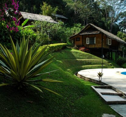
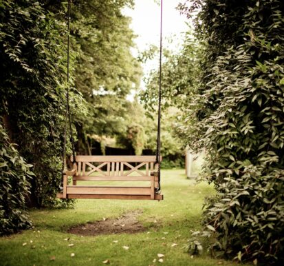
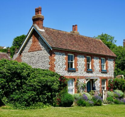
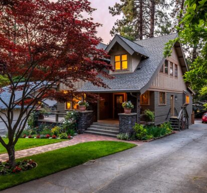
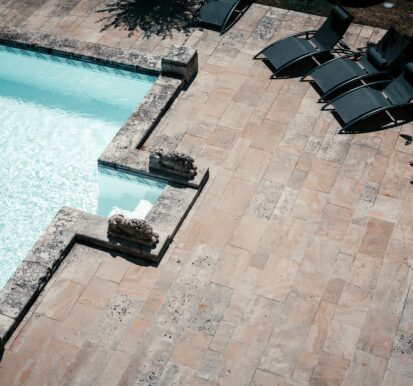

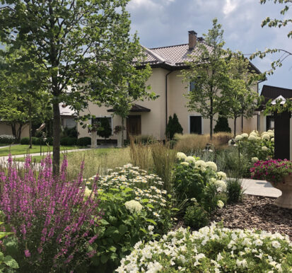
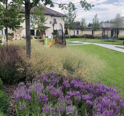
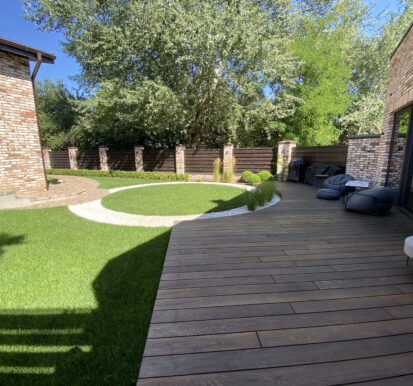
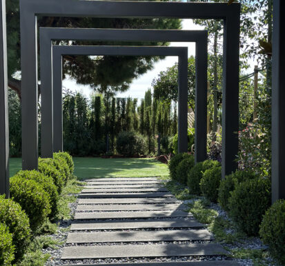
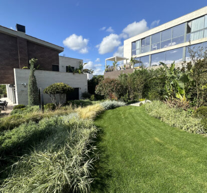
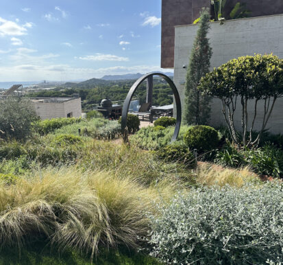

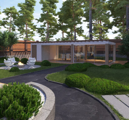
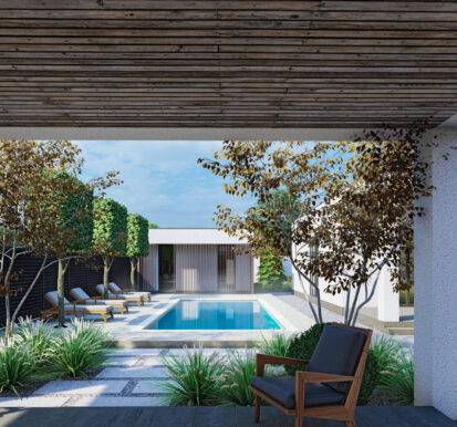
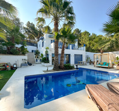
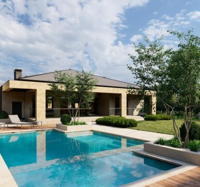
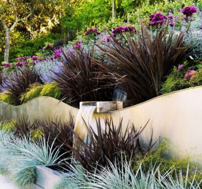
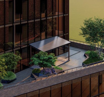
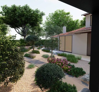
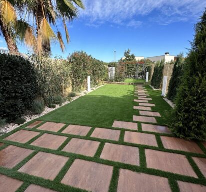
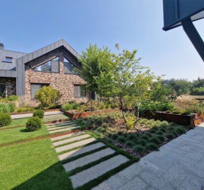
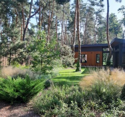
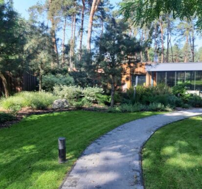
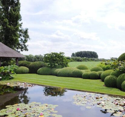
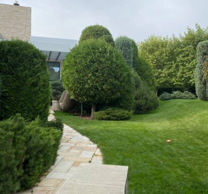
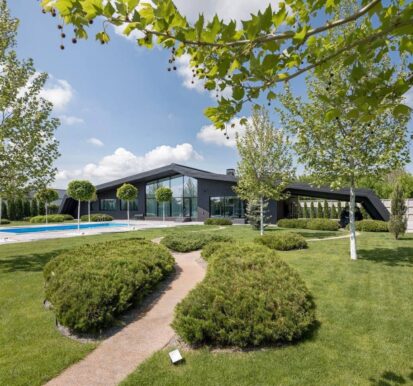
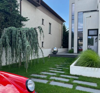
Landscape architecture, build & gardening
Our mission is to create and maintain sustainable outdoor spaces
that enrich the lives of our clients.
info@legreen.es
Don’t hesitate and write us. This is the general email.
+380971615132
We are available for questions and estimates.
Le Green Inc.
urb.Sierra Brava, LLoret de mar.Girona. 17310 Spain
Project
Test1 en
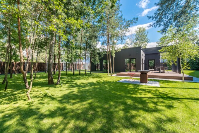
Aerial Imaging Landscape design in 3D in Spain ( или написать регионы) is an important point for creating the backyard territory. Test Therefore, it is important to entrust this task to professionals. What is meant by the concept of landscape design? The Benefits of Drone Mapping Using drones for surveying offers the following advantages:
Clients
Local City ParkDelivery
August, 2021Project Type
Commercial ConstructionLocation
City Park Street, Lotz, USATest en
Aerial Imaging Landscape design in 3D in Spain ( или написать регионы) is an important point for creating the backyard territory. Test Therefore, it is important to entrust this task to professionals. What is meant by the concept of landscape design? The Benefits of Drone Mapping Using drones for surveying offers the following advantages:
Client
Local City ParkDelivery
August, 2021Project Type
Commercial ConstructionLocation
City Park Street, Lotz, USABurbank Outdoor Living
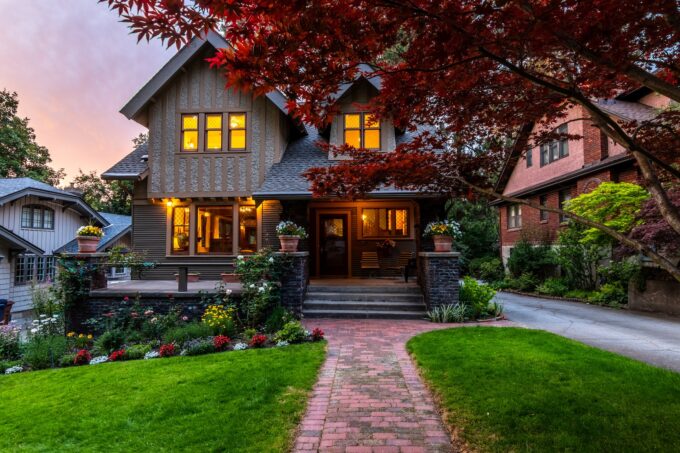
Aerial Imaging With their ability to capture data from above, drones are able to perform land surveys, photogrammetry, 3D mapping, topographic surveying, and more, with increased efficiency. The Benefits of Drone Mapping Using drones for surveying offers the following advantages:
Client
Local City ParkDelivery
August, 2021Project Type
Commercial ConstructionLocation
City Park Street, Lotz, USAWooded Denver Terraces
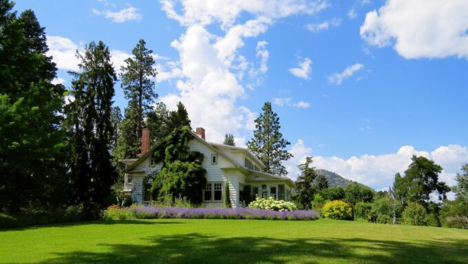
The Community Charter defines highways to include streets, roads, lanes, bridges, viaducts and any other way open to public use.
Customer
Grand JunctionDelivery
October, 2021Project Type
Public UtilitiesLocation
4 Ave st., Boulder, USABailey Backyard Retreat
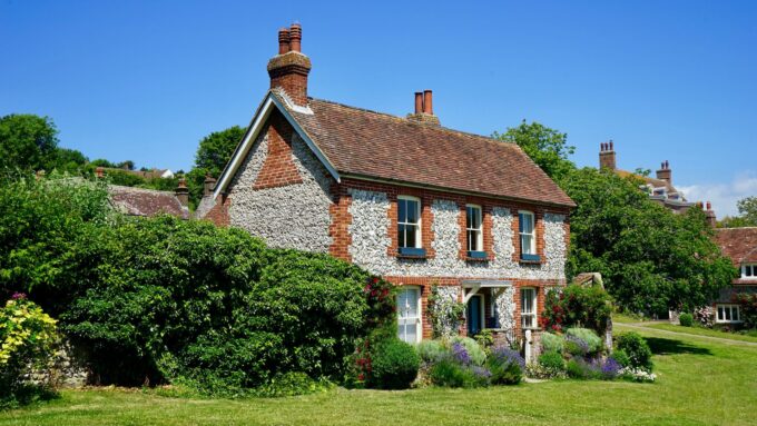
The external building finishes comprises of Branco Real natural stone, energy efficient curtain wall glazing incorporating decorative external bronze fins and powder coated metal panelling.
Customer
South Mall Inc.Delivery
January, 2022Project Type
Commercial ConstructionLocation
29 Fifth st., Boulder, USAVillanova Residence
The foundation block of a cadastre is the cadastral plan (or survey plan). This is produced by a registered surveyor who measures each property.
Customer
City of BoiseDelivery
July, 2021Project Type
Cadastral PlanLocation
18 Fifth st., Boise, USAIf you have a project you would like to discuss
We'd love to hear from you.
Le Green Inc.
urb.Sierra Brava, LLoret de mar.Girona. 17310 Spain
info@legreen.es
Don’t hesitate and write us. This is the general email.
+34618548208, +380971615132
We are available for questions and estimates.
